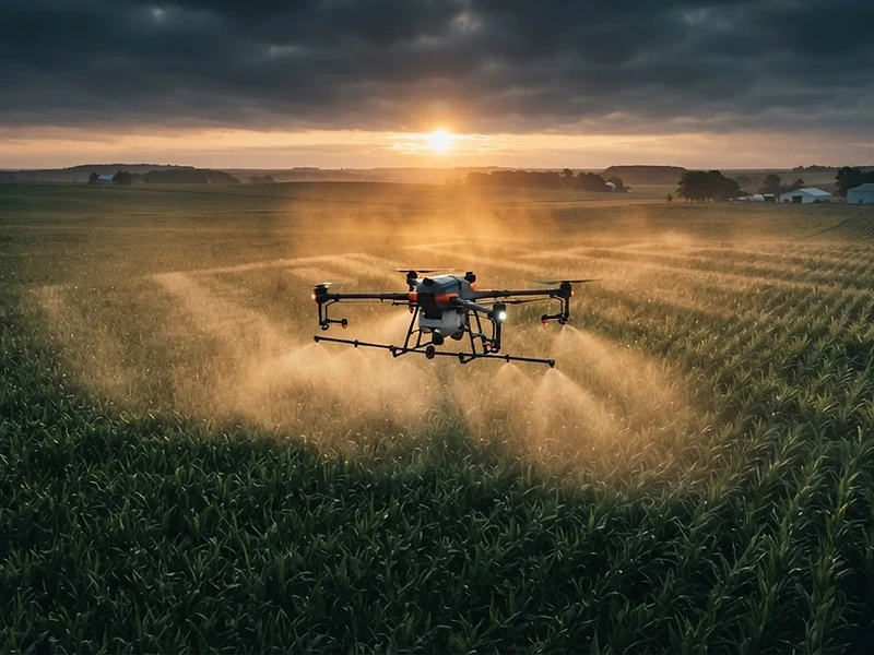
Precision from Above.
Prosperity on the Ground.
Drone crop spraying, seeding, and treatment services for the farms and fields of the Northland — from $15/acre.
No phone call needed — instant pricing
Built by applicators, not just pilots — both founders bring hands-on application experience to every flight.
Our Services
From vast agricultural fields to backyard mosquito control — precision technology for every job. Powered by Talos T60X — 50L (13.2 gal) tank · 7.4 GPM · 36 ft swath · tri-camera obstacle avoidance.
Thermal Deer Recovery — $350 / search
Lost a blood trail after dark? Thermal-equipped drone recovery across Southern MN & the metro.
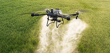
Agriculture Spraying
Boost your crop yield with precision drone agriculture services. Our state-of-the-art drones cover vast areas with accuracy and efficiency, ensuring maximum coverage and minimal waste.

Cover Crop Seeding
Aerial cover crop seeding for large areas quickly and efficiently. Reduce soil erosion, improve soil health, and increase organic matter with precision drone seeding.


Mosquito Control
Reclaim your outdoor spaces with targeted mosquito spraying. Our drones navigate precisely around structures and trees for effective coverage without ground access issues.

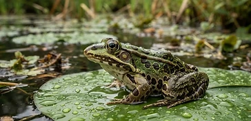
Wetland Restoration
Targeted treatments for invasive aquatic vegetation management. Drones are ideal for wetland work — no heavy equipment needed, zero ground disturbance.

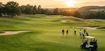
Golf Course Spraying
Precision application for fairways, greens, rough, and roughs. Drone application reduces soil compaction and reaches areas inaccessible to ground equipment.

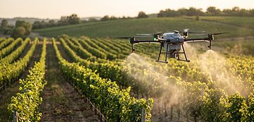
Orchard & Vineyard Treatment
Precision foliar application for tree fruit and vineyards. Drones reach every row without soil compaction or damage to trellis systems.
Go Deeper
Start with the overview here, then dig into the page that fits what you need.
2027 Service Lines & Pricing
Nine core service lines, rolling out by licensing window — from Fall 2027 scouting and recovery work through Spring 2028 pond applications.
Available Fall 2027
- Scouting & Mapping$5.00/acre
- Aerial Photography & Video$332.50/job
- Inspection & Mapping$595.00/job
- Thermal Deer Recovery$350.00/search
Available Spring 2027
- Fungicide Application$15.00/acre
- Pesticide Application$50.00/acre
- Granular & Cover Crop$12.00/acre
Available Spring 2028
- Pond & Natural-Area Applications$275.00/hr
Pricing reflects standard rates for the 2027 season. Volume and multi-service pricing available — ask about a custom quote for your operation.
Draw Your Field.
Get Your Price in 60 Seconds.
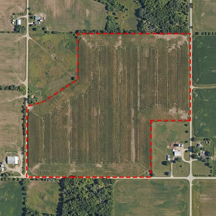
No other regional drone spray service offers self-serve instant pricing. Draw your field on our satellite map tool and see your quote immediately — no phone call, no waiting.
Drop a pin on your field — any location in the Northland region.
Draw the boundary by clicking around the perimeter of your field.
Your acreage calculates instantly from your drawing — no guesswork.
Your price appears automatically based on service type — no waiting.

How It Works
From field boundary to flight plan in minutes — here is our process.
Map Your Field
Draw your field boundary on our satellite map tool.
Instant Acreage
We calculate your exact acreage automatically.
Get Your Quote
See your price instantly — no waiting, no phone calls.
We Approve & Fly
We confirm, export the flight plan, and the drone gets to work.
Why Drone Spraying?
Agricultural spray drones are revolutionizing how Northland farms operate.
Pinpoint Precision
GPS-guided flight paths ensure every inch gets exactly the right coverage — no gaps, no overlaps.
Less Chemical Use
Up to 90% less water than traditional methods. Better for your crops and the environment.
Fast Turnaround
Cover 40+ acres per hour. Hit your application windows without delay.
No Crop Damage
No tractor tracks through your fields. Fly over wet spots and obstacles without damage.
Detailed Reports
Every job logged with GPS coverage maps, product lot numbers, and certified applicator records.
Weather-Smart
We monitor wind, rain, and temperature — auto-scheduling around conditions for best results.
13.2-Gal Tank Per Fill
13.2-gallon tank covers roughly 7 acres per fill — fewer refill stops means more acres in the air per day.
360° Obstacle Avoidance
Safe near tree lines and power lines — our T60X has full 360° obstacle avoidance built in.
30 mph Operation Speed
The T60X operates at up to 30 mph — dramatically faster than traditional ground equipment.
Questions? Call us at (612) 414-3857 or email Northlandagmn@gmail.com
Fleet & Coverage
Two purpose-built aircraft for two jobs — a heavy-lift application platform for spraying and spreading, and a thermal/photo platform for recovery, inspection, and mapping.
Talos T60X
Application AircraftA heavy-lift application platform purpose-built for spraying, spreading, and cover crop seeding across broadacre farm ground — GNSS+RTK guidance with tri-camera obstacle avoidance.
DJI Matrice 4TD
Thermal / Deer Recovery · Mapping · PhotographyPowers Thermal Deer Recovery, Inspection & Mapping, and Aerial Photography & Video service lines on a single aircraft.
24 Counties Served
Core/priority counties: Scott, Le Sueur, Rice. Full footprint: 24 counties across southern Minnesota & the metro.
When We Fly
Each service line has its own season — here's when to expect us in the air and when to plan ahead.
Fungicide Application
Heaviest June–August (reproductive crop growth stages)
Pesticide Application
Even coverage April–October
Thermal Deer Recovery
Concentrated September–December, aligned with Minnesota hunting seasons
Pond & Natural-Area Applications
Typically spring/summer
Pre-Season Quoting & Relationship-Building
August–February — the best time to reach out and lock in next season
Trust & Policies
Plain language on how we schedule, what we carry, and what happens if something goes wrong — not vague reassurance.
Weather & Scheduling
When a tight weather window forces prioritization across multiple customers, service is delivered strictly first-come, first-served according to schedule — no exceptions for account size or how recently a customer signed.
Insurance
Northland Ag & Aerial carries drone hull/aviation liability coverage and commercial vehicle insurance.
Drift / Crop-Damage Claims Process
- 1Call us directly to report the issue.
- 2We inspect the site within a few days.
- 3If confirmed, we repair or re-treat the affected area at no cost as the default resolution.
- 4If damage is beyond a direct fix, the claim is escalated to our insurance carrier.
Data Ownership
Field-level scouting, mapping, and application data is retained to build your multi-year field-history record. You may request export of your own field data at any time. Aggregated, anonymized data may be used internally for regional trend analysis — your individual data is never shared or identifiable in that use.
Consistent Pricing
Pricing is the same for every customer from day one — no bait-and-switch introductory rates that change later.

Get Your Quote
Select your service, dial in your acreage, and get a preliminary estimate — then lock in your flight.

